Skip to main content
My Account / Pay My Bill Online
Board Meeting Live Stream
Contact Us
Billing Online Submission Form
Water Quality/ Report Facility Damage
Search:
Search
Toggle navigation
Home
About Us
About the District
Meet our Staff
Board Members
Board Meetings
Finance & Budget
Rates and Fees
Budget Info & Rules/Regulations
Mill Levy Info
District Transparency
Job Opportunities
Billing
Pay My Bill
My Payment Options
Understanding My Bill - Q&As
District Rates & Fees
Our Services
Water
Water Sources & Treatment
Water Quality Info
Hydrant Flushing
Wastewater
Current Projects
For Customers
Save Water
Your 2026 Watering Schedule
FREE Sprinkler Evaluations
Conservation Rebates & Discounts
Tips to Save Water
What is Xeriscape?
Resources & Links
Water Quality Information
Cross Connection Control Program
Backflow Prevention Survey
Frequently Asked Questions
Avoiding/Addressing Sewer Backups
Checking for Leaks
Water Pressure Issues
Contractors
News & Events
News
Board Meetings
Event Calendar
Videos
Maps, Bill Inserts & More
Local Government Websites
Contact Us
Billing/Account Questions
Sign Up for Alerts & News
Take our Communications Survey
Water Quality Questions
Report Damage to a District Facility (non emergency)
Ask the Directors
Miscellaneous Questions
Streets, Parks, Trails, & Stormwater (City of Castle Pines)
HOA Information (external link)
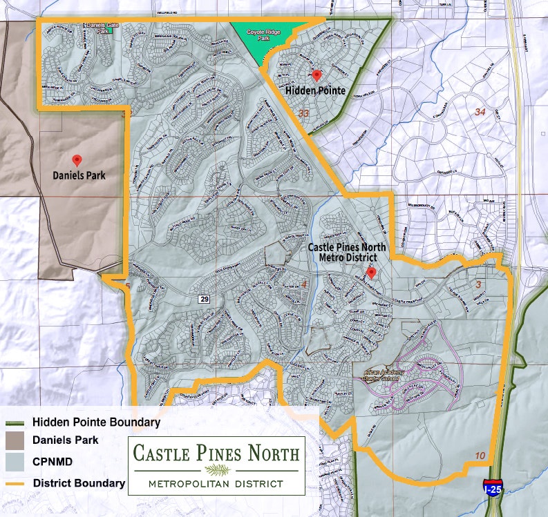
District Map
×
Search results
Search
Search